inki

Wireless information displays for modern spaces
🇺🇸 English |
🇩🇪 Deutsch
Overview
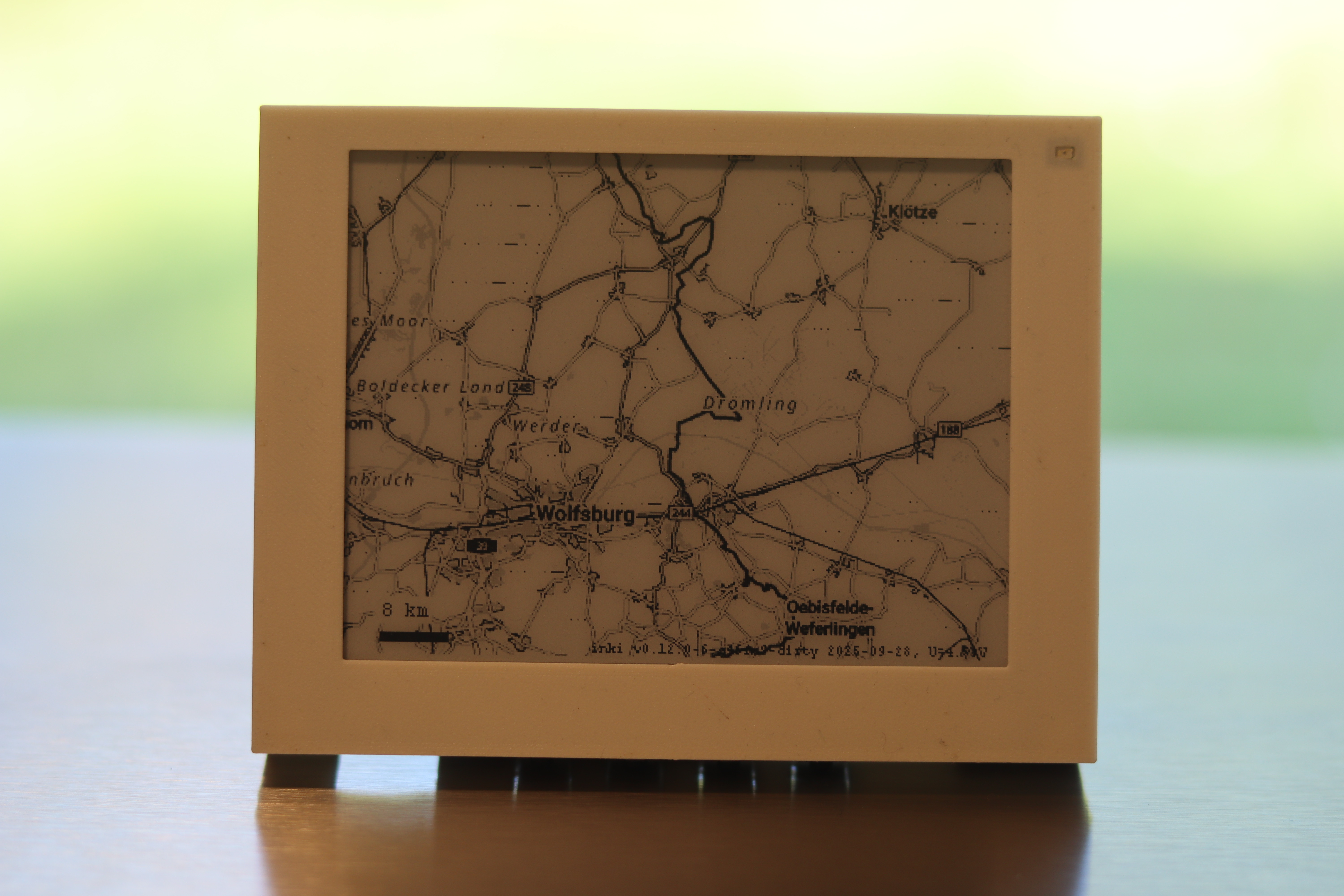
The Weathermap use case connects inki to German government mapping services to display real-time weather map overlays on geographic base maps, optimized for ePaper displays.
Preview of the Weathermap layout optimized for the 4.2" panel.

Preview of the Weathermap layout ready for the 7.5" panel.
Data Source: The maps are provided by BKG (Bundesamt für Kartographie und Geodäsie - German Federal Agency for Cartography and Geodesy) through their free basemap.de WMS service. This official government service provides high-quality geographic base maps under the Creative Commons Attribution 4.0 license (CC BY 4.0).
Features (work in progress)
- Real-time weather maps from official sources
- WMS tile retrieval from
sgx.geodatenzentrum.de - HTTPS connectivity with full TLS 1.2/1.3 support
- Memory-efficient streaming for limited RAM constraints
- Data Source: German Federal Agency for Cartography
- Image Processing: PNG to 1-bit conversion for ePaper
- Security: mbedTLS with certificate validation
Implementation Status
- TLS/HTTPS client with proper certificate validation
- Streaming PNG decompression
- fetching of geo data and plot on epaper in 4 gray scales or black and white
Configuration
Setup includes:
- Map tile coordinates
- Zoom level preferences
- Update intervals
- Geographic region selection
Questions? Ideas? Interested in a kit?
Contact: c0de@posteo.de